Hiking the Kyoto Trail: Day 1 — Come Rain or Shine
Travel diaries: November 2nd, Day 1 - Fukushimi-Fukakusa Route - 9.5-km
Good afternoon,
From the very first day, Kyoto Trail appears to be a one very fine route. I didn’t have high expectations—anything that would keep my legs moving for 5-6 days would work for me—but it seems this trail will turn out to be much more than that, introducing me to an even more lovable side of a city I already adored.
By the time I went to bed at my hotel in Kyoto—my Kyoto home after more than ten stays—last night, I wasn't sure if I would start the hike today. A heavy rain warning had been issued for Western Japan due to Typhoon Kongrey, and I thought it would be wiser to wait it out, especially since the usually reliable Japan Meteorological Agency promised five consecutive days of sunshine starting tomorrow.
So, after waking up to a rainy morning and not being sure whether I would start the hike, I had a slow morning, getting the hotel breakfast (which I highly recommend), studying the trail maps (there are five of those), and thinking about where I would go if I did not start the trail. But then I started feeling restless (not that it takes much to feel that way for me) and decided to start the hike, planning to cut it short if the rain picked up. I am so glad that I did since today`s section of the trail, the roughly 10-km route that connects Fushimi-Momoyama Station to one of Japan`s most visited shrines, Fushimi Inari, features sections that really put on a show on a rainy day.
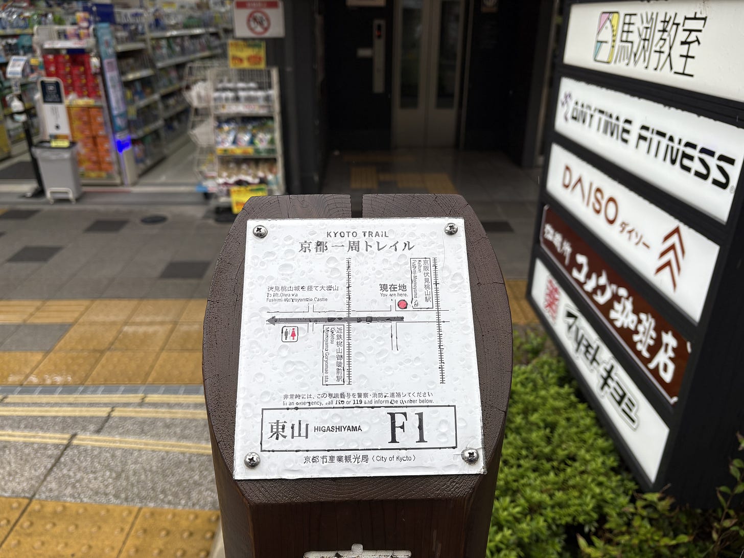
To reach the trailhead, I took the train to Fushimi-Momoyama Station, which is just 10 minutes from Jujo Station, a few minutes away from my hotel. There’s a small but easily visible trail sign right outside the train station, marking the beginning of the trail. Along the Fukushimi-Fukakusa Route, you will come across 38 of those marks —F1 to F38. But since parts of the trail go through urban areas with many alternative route options, relying solely on those trail marks would likely not get you far, and downloading the Kyoto Trail Map on YAMAP1 (the beloved Japanese hiking app, which is unfortunately only available in Japanese) and/or buying the guidebook and the trail maps would be a safer choice.
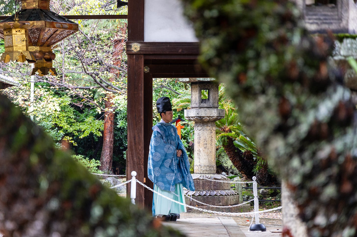
Shortly after I started the trail at around 9:40 a.m., I found myself at the doorstep of Gokonomiya Jinja Shrine, which features an inviting walkway surrounded by trees. There was a ceremony taking place at the Shrine, which I suspect might be the Shichi-Go-San, to celebrate the health and growth of young children.
After a brief stop at the Shrine, the route gently climbed up and led me to Fushimi Momoyamojo Castle Ruins Park (I think I missed the very short detour to Emperor Meiji`s Mausoleum along this section). The castle structure you see today in the park is the replica of the original built in 1594, which was later dismantled in 1623. Many of the castles you see across Japan are exquisitely crafted replicas of the originals, which may have been dismantled due to the policies of the time, burned in fires, or destroyed by earthquakes. Only 12 original castles remain today, but I think even the replicas work fairly well to evoke the aura of historical Japan.


