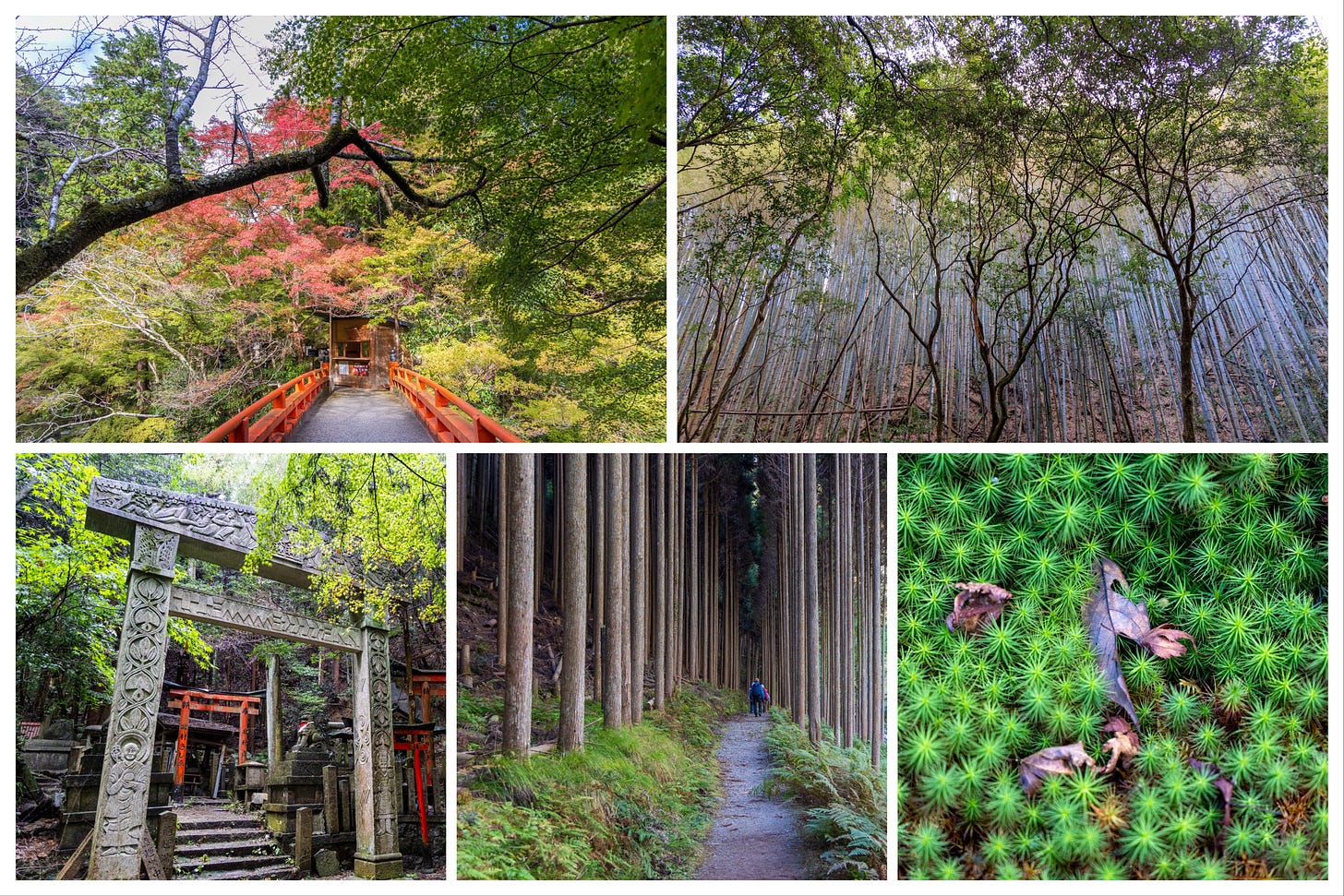
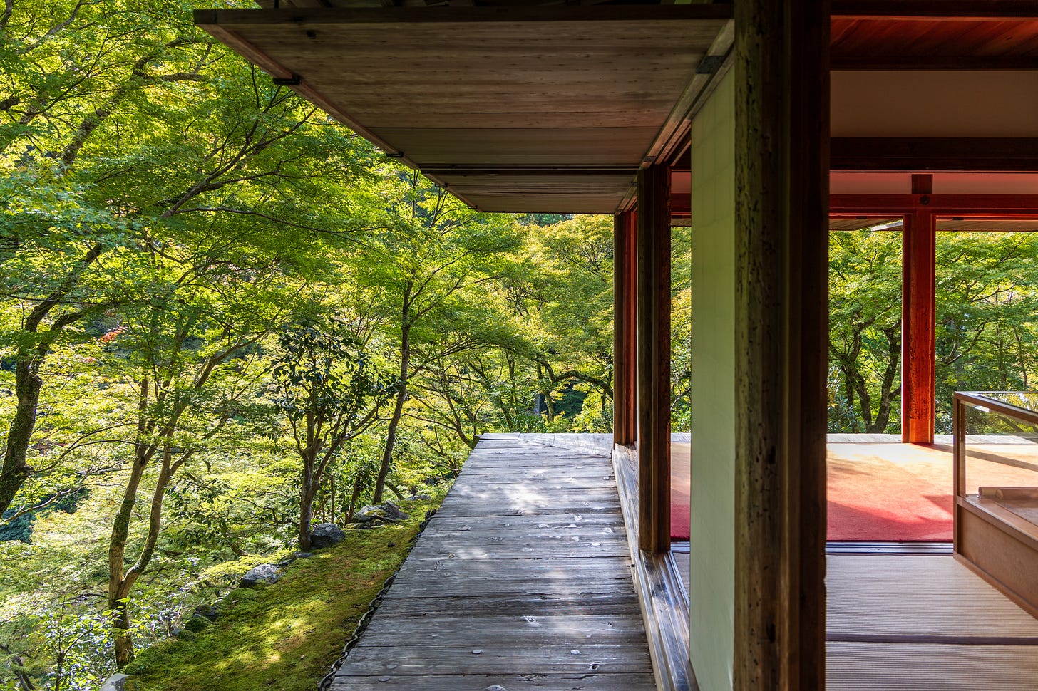
Hiking the Kyoto Trail: Day 5 — The End
Travel diaries: November 6th, Day 5 - Nishiyama Course - 12.8-km - the End.
Good afternoon,
Who knew that I would write yet another love letter to Kyoto, but this time praising its hiking trails? After the first post about ten days ago introducing the Kyoto Trail, a 80-km route that mainly goes through the mountains encircling the city, I am now back to report from the end of the trail. In between, there were three other posts providing trail notes from each day, which were partially limited to monthly/annual subscribers:
Departure Day - Tokyo to Kyoto: Introduction of the Trail
Day 1 - Come Rain or Shine (Fukushimi-Fukakusa Route - 9.5 km)
Day 2 - A Wonderful Yet Intense Day on the Trail (Higashiyama Route - 24 km)
Day 3 and 4 - Exploring Beyond the City (Kitayama Eastern Route - 17.9 km)
This is Day 5 and the wrap-up post about this surprisingly enjoyable trail, including some logistics-related info at the end, along with links to additional sources to help plan your own trip.
I decided to skip the Kitayama Eastern Course, the fourth section of the Kyoto Trail, due to the closure of its supposedly most beautiful section, meant to prevent mushroom hunting from mid-September to November 10th. The Kitayama Eastern Course is also generally considered the least impressive among the five sections. I also wanted to avoid lonely forests on a weekday, when it was unlikely anyone else would be around, and avoid a repeat of the bear warning scare that shook me badly on the second day.
The day began with a bus ride to the Takao area to cover the final stretches of the Kitayama Western Route before it connected to the Nishiyama Course. The plan was to visit local temples while covering some ground. The bus departing from Kyoto Station was very crowded (name of the line: 高雄京北線), especially since one stop was the Golden Pavilion, Kinkakuji, where most passengers got off the bus.


